Map & locations
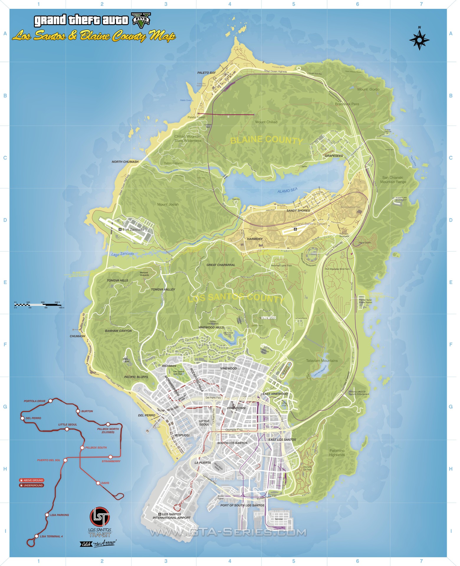
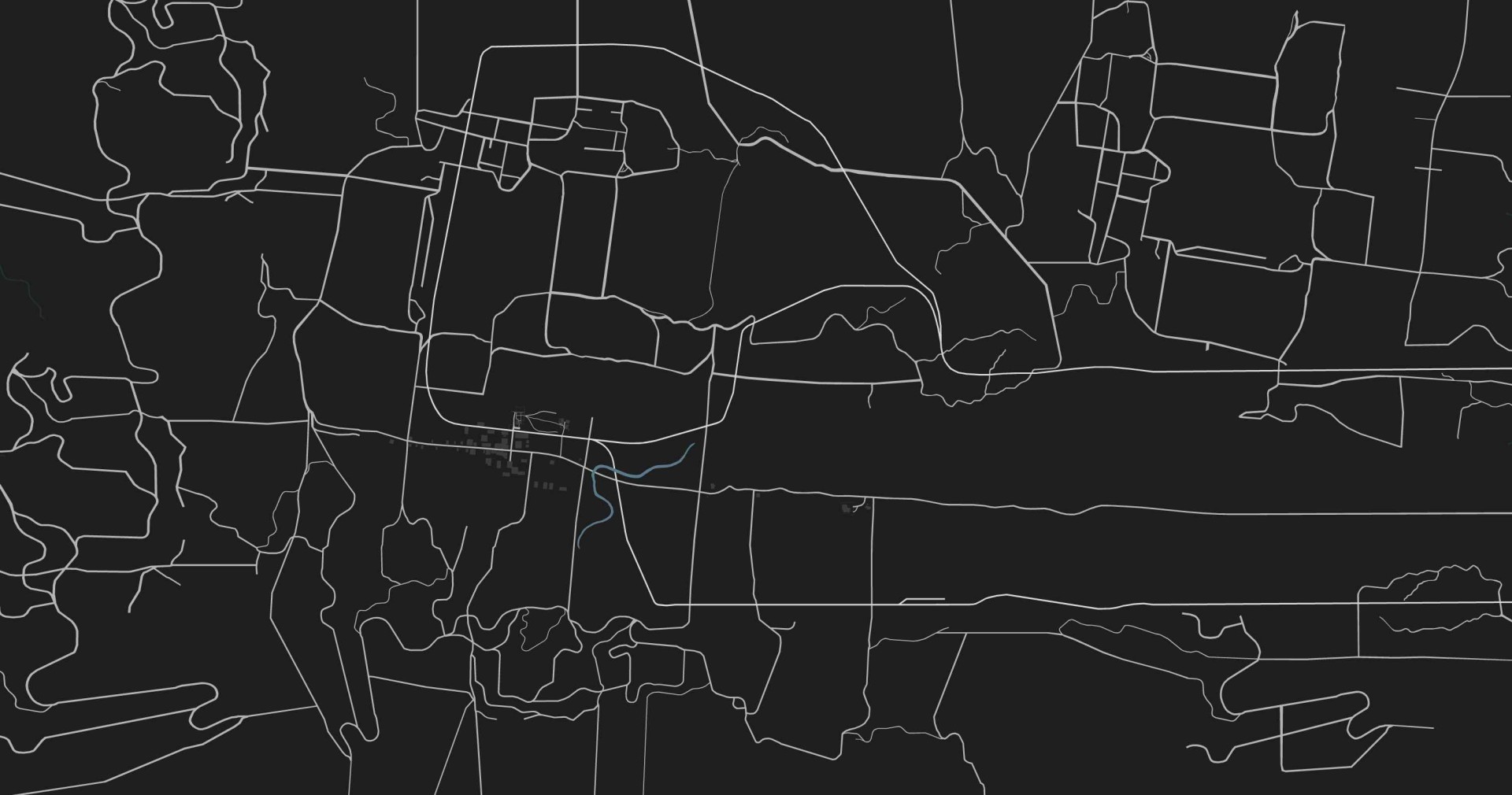
Road, satellite and collectible maps, plus the places of Southern San Andreas.




GTA V database
Locations
72 illustrated records. Search names, locations, unlocks and source facts.
72 records
Los Santos
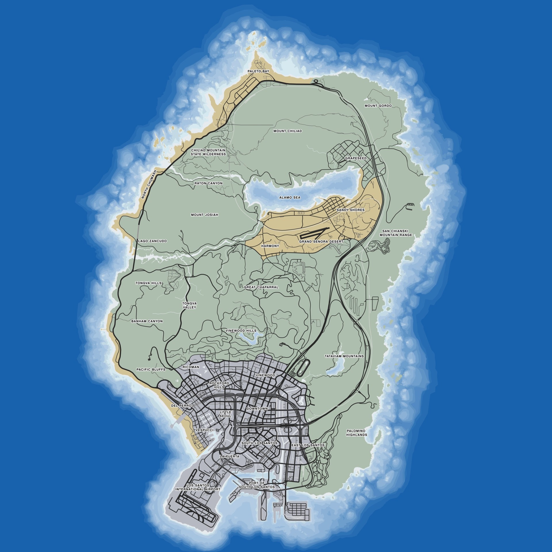
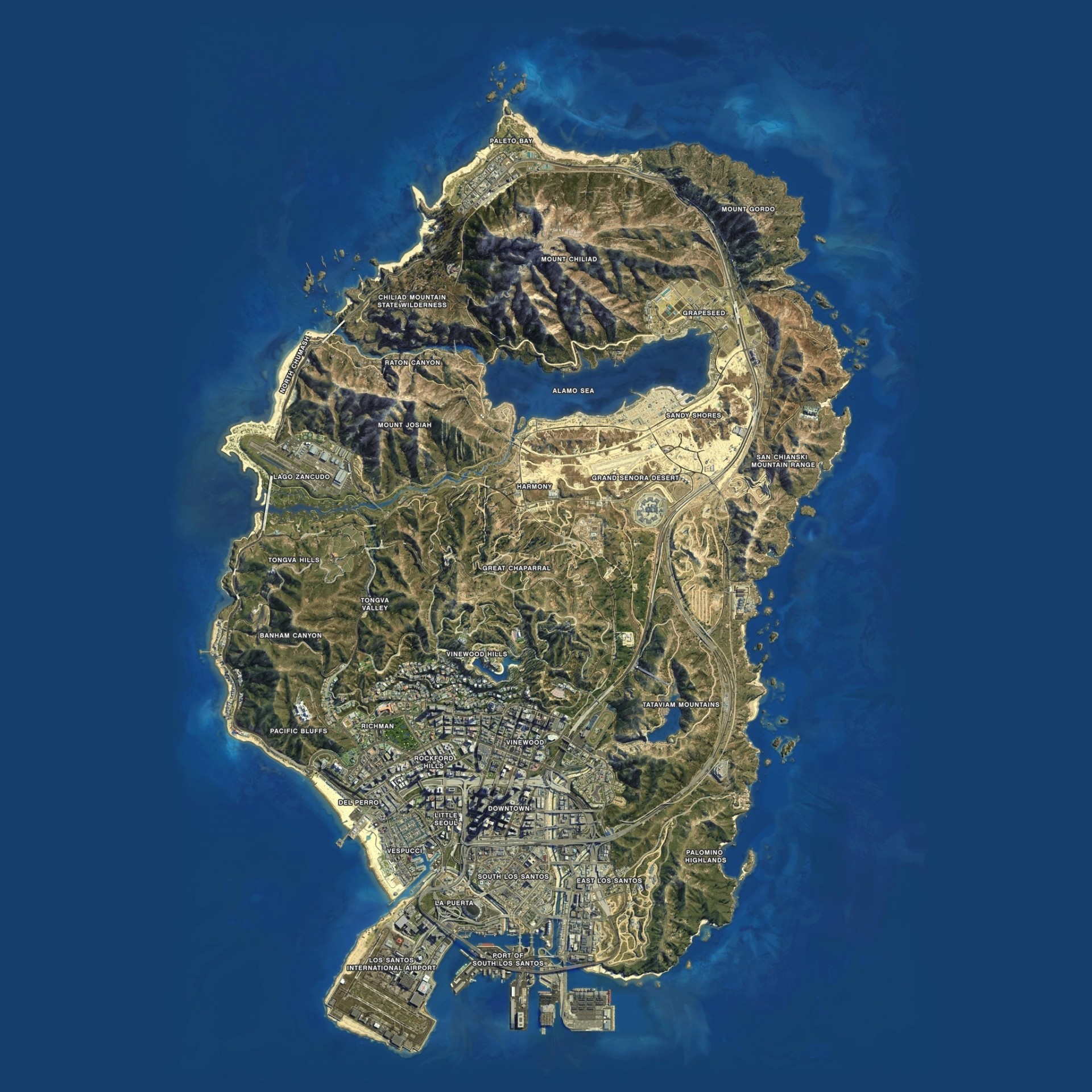
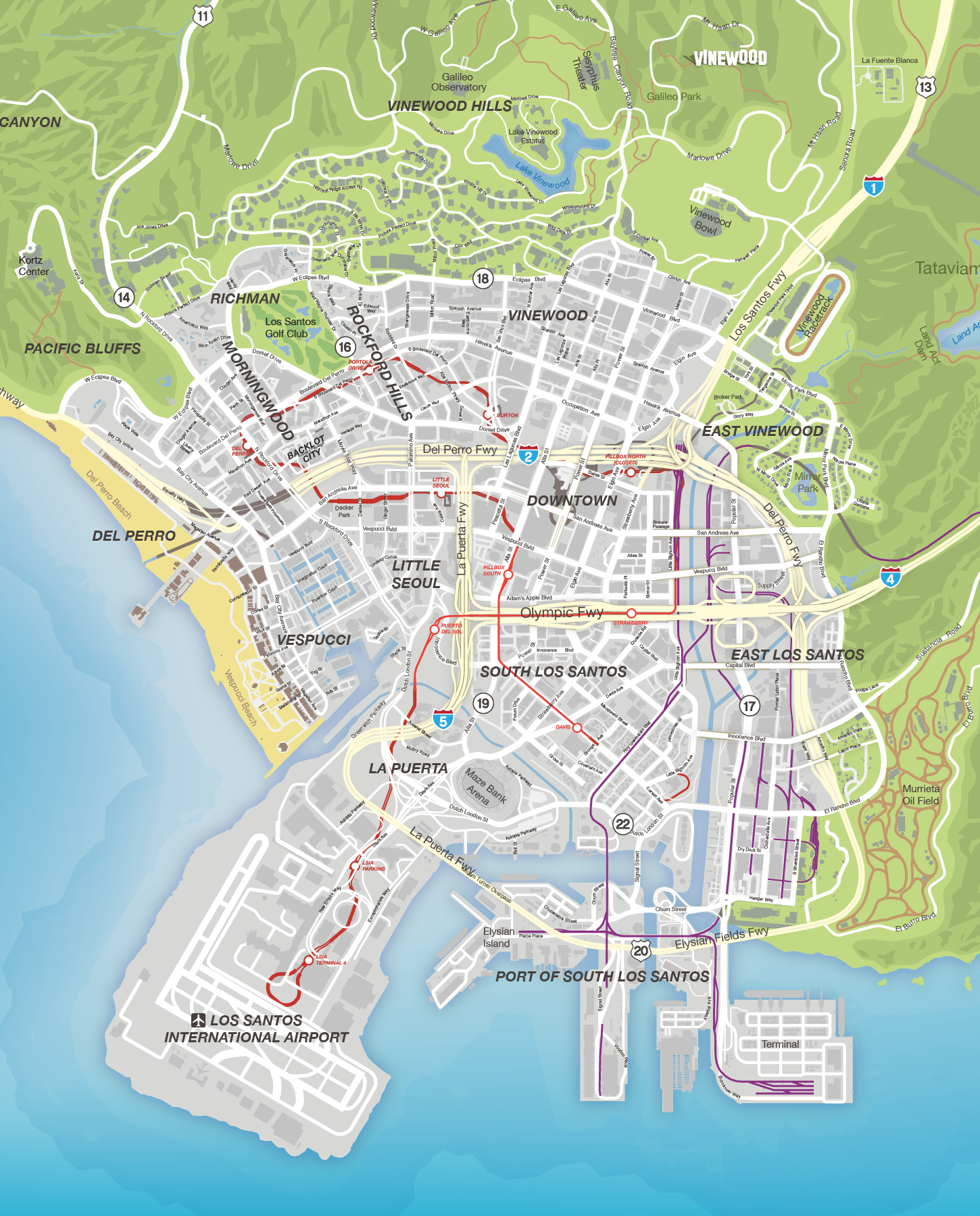
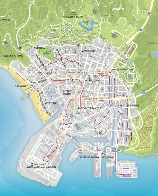
The city at the center of GTA V’s main campaign. Its neighborhoods combine the entertainment industry, finance, residential areas, industrial sites and beach communities.
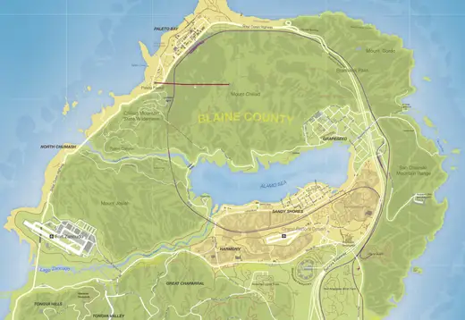
Blaine County
The rural county north of Los Santos. Desert settlements, agricultural land, forests, mountains and the Alamo Sea give it a different scale and pace from the city.
Downtown Los Santos
The city’s financial district contains high-rise offices and several targets important to the campaign’s federal operations and heists.
Legion Square
A central urban square in the downtown area, corresponding to the real-world Pershing Square reference.
Mission Row
A downtown district associated with the police station and the city’s less affluent streets. Its real-world reference is Los Angeles’s Skid Row.
Pillbox Hill
A downtown district of tall offices and steep streets, drawing on Bunker Hill. Franklin’s purchasable vehicle garage is located here.
Textile City
The garment-business district takes its real-world cue from the Los Angeles Fashion District. It is one of the compact neighborhoods east of the downtown towers.
Maze Bank Tower
A major downtown skyscraper and an unmistakable part of the Los Santos skyline. It also belongs to GTA Online’s office property setting.
FIB Headquarters
The federal building is a major Story Mode destination, most notably in the Bureau Raid heist.
IAA Headquarters
The IAA’s tower places the rival federal agency next to the FIB in the city’s government district.
Union Depository
The gold reserve targeted in The Big Score. The campaign provides distinct subtle and obvious approaches to the heist.
Mile High Club
The unfinished skyscraper complex is a visible construction landmark among the downtown high-rises.
Vinewood
The entertainment district draws on Hollywood. Film studios, celebrity culture and commercial streets place it at the center of the game’s movie-industry satire.
Alta
An urban neighborhood whose reference areas include Figueroa Street and Olvera Street. It sits between the downtown and Vinewood parts of the city.
Hawick
A shopping and residential area modeled on the Melrose District. Several roadside encounters and shops are found around its streets.
Mirror Park
A residential district surrounding a small lake, inspired by Echo Park. The park creates a recognizable open space within the city.
Vinewood Hills
The affluent hillside neighborhood contains winding residential roads, the Vinewood sign and the Galileo Observatory.
Vinewood Sign
The hillside letters announce the city’s film-industry identity and serve as a prominent navigational landmark.
Galileo Observatory
The hilltop observatory draws on Griffith Observatory. Its elevated position provides views across the city.
Rockford Hills
An incorporated city inspired by Beverly Hills. Michael’s house, luxury stores and the Vangelico jewelry shop connect it closely with the campaign.
Rockford Plaza
A major shopping landmark in the affluent northern part of Los Santos.
Portola Drive
The luxury retail street near Michael’s home forms part of the Rockford Hills commercial district.
Burton
A commercial neighborhood inspired by Beverly Grove, adjoining the upscale Rockford Hills area.
Richman
An affluent residential area inspired by Bel Air and Holmby Hills. The Los Santos Golf Club is one of its principal destinations.
Los Santos Golf Club
The nine-hole course supports the Story Mode golf activity and is also a purchasable business. Finishing a round at even par or better is part of the 100% hobby requirements.
Morningwood
A neighborhood based on Westwood, with businesses including the Tivoli Cinema.
Pacific Bluffs
The coastal residential area draws on Pacific Palisades. Dr. Friedlander’s practice sits on this side of Los Santos.
Chumash
A coastal settlement inspired by Malibu, lying beside the Great Ocean Highway west of the city.
Del Perro
An incorporated beach city inspired by Santa Monica. The pier is its principal seaside landmark.
Del Perro Pier
The amusement pier contains fairground attractions above the beach. Its outline makes the western coastline easy to recognize.
La Puerta
An industrial district inspired by San Pedro. The Maze Bank Arena and nearby marina connect the area with sport, transport and waterfront business.
Maze Bank Arena
A large indoor sports venue inspired by the Forum. The surrounding roads and car parks form a recognizable landmark in southwest Los Santos.
Little Seoul
A neighborhood inspired by Koreatown and the Wilshire area of Los Angeles.
Puerto Del Sol
The marina district draws on Marina del Rey. Story protagonists can buy boat storage at Puerto Del Sol Marina.
Vespucci Beach
The Venice Beach-inspired waterfront combines boardwalk shops, outdoor recreation and a long strip of sand.
Vespucci Canals
The residential canal network draws on the Venice Canals, contrasting with the broad beachfront nearby.
Cypress Flats
An industrial district drawing on Vernon and Long Beach. Freight traffic, warehouses and factories shape its streets.
El Burro Heights
A hilly industrial district inspired by Signal Hill, on the eastern side of the city.
La Mesa
An industrial neighborhood drawing on the Arts District. Garages and road connections make it a recurring destination across Story and Online.
Murrieta Heights
A district inspired by Boyle Heights, with hillside roads and transport infrastructure on the city’s eastern side.
Davis
An incorporated city inspired by Compton. Its neighborhoods belong to the street-gang setting surrounding Franklin and Lamar.
Banning
An industrial waterfront district inspired by Wilmington, between the residential streets and the port.
Chamberlain Hills
A residential neighborhood drawing on Baldwin Hills. It is closely associated with the Families in the campaign.
Rancho
A neighborhood inspired by Watts and Florence, in the southern urban part of the map.
Strawberry
Franklin’s first safehouse is on Forum Drive in Strawberry. The district draws on Crenshaw and Inglewood.
Los Santos International Airport
LSIA is the city’s main civilian airport. Hangars and runways support flying activities and several campaign sequences.
Port of Los Santos
The commercial seaport contains cargo terminals, cranes and warehouses. Trevor investigates its Merryweather cargo during Scouting the Port.
Grapeseed
An agricultural community with fields, barns and McKenzie Field. Its reference areas include Bakersfield, Lamont and Grapevine.
Harmony
A small settlement on Route 68, drawing on Oasis. It forms a convenient stop along the desert road network.
Paleto Bay
The northwestern coastal town is backed by forest and mountain terrain. The Paleto Score brings the protagonists to its bank.
Sandy Shores
The desert settlement on the Alamo Sea is Trevor’s home at the start of his present-day story. Its landscape draws on Desert Shores and Bombay Beach.
Altruist Camp
The isolated mountain settlement belongs to the Altruist Cult. Trevor can deliver certain encounter passengers here, with consequences separate from the ordinary drop-off.
Cape Catfish
A small coastal settlement on the eastern side of the map, drawing on Pigeon Point and Pescadero.
Dignity Village
A makeshift settlement in the north of Blaine County, below the mountain landscape.
Galilee
A small community on the Alamo Sea’s northern shore, with reference points in Mecca and Niland.
North Chumash
A settlement on the western coastal highway north of Chumash. The guide associates it with the Malibu coastline.
Stab City
A trailer settlement near the Alamo Sea, inspired by Slab City. Trevor targets it during Friends Reunited.
Alamo Sea
The inland saltwater lake draws on the Salton Sea. Sandy Shores and other desert communities stand around its banks.
Chiliad Mountain State Wilderness
The protected mountain landscape around Mount Chiliad provides forest roads, trails and wilderness terrain.
Fort Zancudo
The guarded military base contains runways, hangars and military vehicles. Unauthorized access in Story Mode produces a severe wanted response.
Grand Senora Desert
The broad desert region separates Los Santos from the northern mountain country and surrounds several small settlements.
McKenzie Field
The small airstrip supports Trevor’s arms-trafficking business after purchasing its hangar. Air and ground jobs are separate activity series.
Mount Chiliad
The highest peak in southern San Andreas has trails, a cable car and the well-known mystery mural. It draws on the San Gorgonio and Big Bear mountain landscape.
Mount Gordo
An eastern mountain inspired by Mount San Jacinto. The coastal route below it contrasts with the trails climbing its slopes.
Mount Josiah
A mountain west of the Alamo Sea, drawing on Mount Baldy. Its rugged slopes border the Raton Canyon area.
Raton Canyon
A deep river canyon and wilderness route west of the Alamo Sea. Roads, bridges and mountain trails give it several approaches.
San Chianski Mountain Range
The eastern range draws on the San Jacinto Mountains and overlooks the Pacific coastline.
Sandy Shores Airfield
Trevor takes over this desert airfield during the campaign. The runways and hangars make it a principal base for his aircraft.
Pacific Ocean
The ocean surrounds the playable mainland and contains diving locations, marine animals and wrecks. Going beyond the world boundary eventually disables vehicles and prevents unlimited travel.
North Yankton
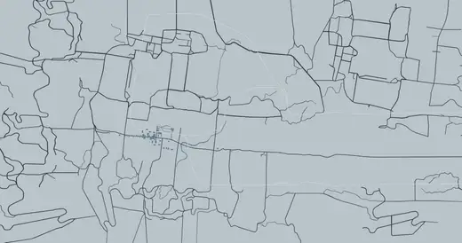
The snowy state appears in Prologue and Bury the Hatchet. It is a mission setting rather than an ordinarily accessible extension of the San Andreas free-roam map.
Ludendorff
The town provides the location for the 2004 opening robbery and the cemetery visited later in Bury the Hatchet.
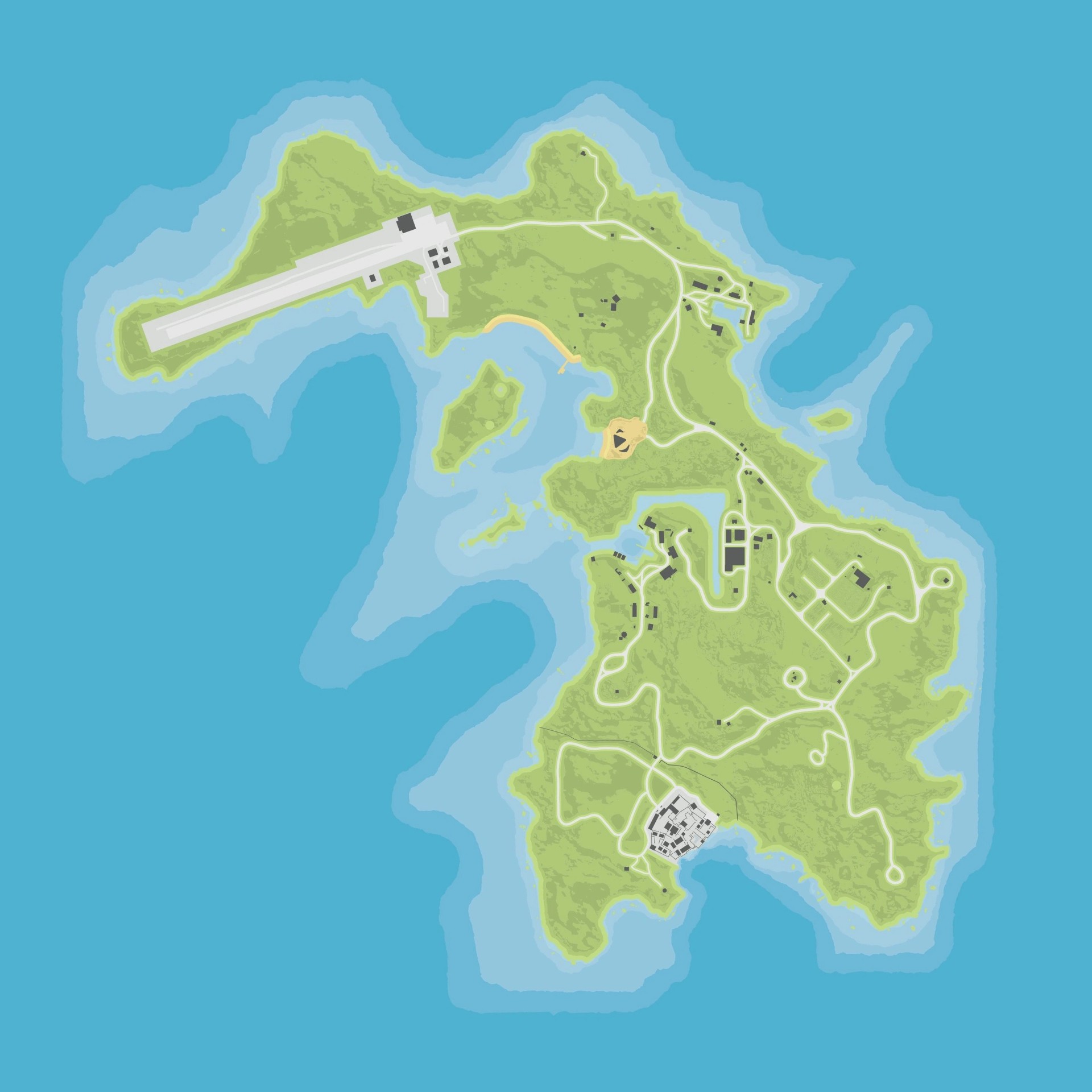
Cayo Perico
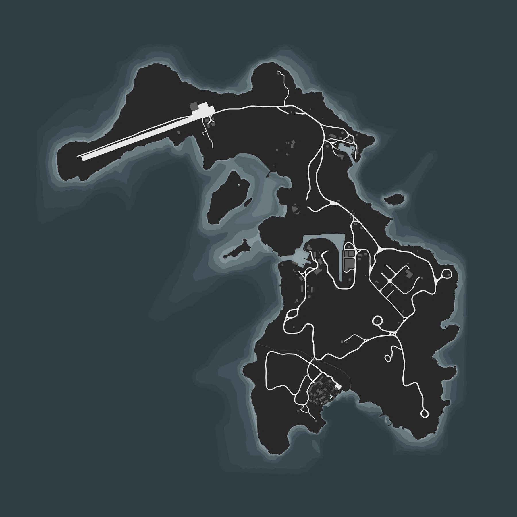
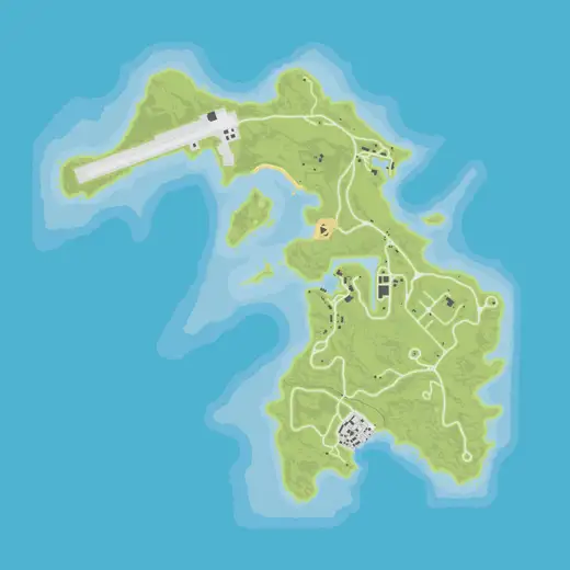
El Rubio’s private island was introduced through The Cayo Perico Heist in December 2020. It is accessed through Online heist-related travel rather than being part of Story Mode’s mainland.
No matching records. Try another name, location or filter.